As-built Surveying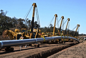
Spurlock Land Surveying has worked on many as-built projects providing inventory data sheets, location maps, GIS files and aerial mapping. SLS has the experience to tackle any size job with a background in facilities, pipeline systems, utilities and telecommunication. SLS can help determine your data collection and mapping needs or work to your specification.
Aerial Mapping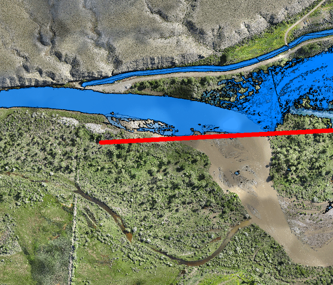
Using a 3cm resolution orthomosaic and digital elevation model, engineers were able to determine likely scenarios of a levy on the Wind River near Riverton, WY. RTK/GPS and UAVs were provided by SLS at a cost considerably lower than conventional aerial photogrammetry.
|
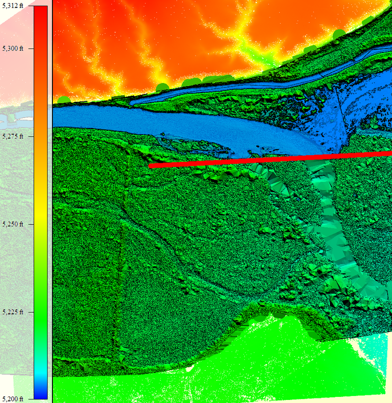
Heat maps generated by SLS using point-clouds provided incredible detail not seen using ordinary contour maps.

Shown above is a 3D rendering of a mountain using point-cloud data combined with contour overlay to enhance the visualization of a proposed road project.
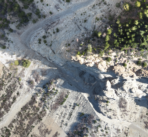
UAVs make it possible to collect data where other tools fail. Above is a photo looking down upon a 500' vertical cliff.
|
GIS Data Collection
Spurlock Land Surveying uses the latest equipment, software and methods to provide data and detail required for any difficult project.
|